Report on Historic Hike to Camp Bluebird
In the summer of 1924, the recently organized Adirondack Mountain Club [i.e., the New York Chapter, now the Nawakwa Outdoor Association] rented a two-story farmhouse on Upper Twin Lake. They named it Camp Bluebird (UT-10). To get to the camp, those members who didn’t have cars had to walk four miles up from Central Valley. The camp was an old 2-story farmhouse with a fireplace and sleeping accommodations for 23. Connected to the house on the west side was an open, covered pavilion about the size of Nawakwa’s main building and slightly removed and to the north another similar pavilion. These buildings were on the east side of Upper Twin Lake and near its north end and were about 50 feet above lake level.” The camp was used for two years until the spring of 1926 when Camp Nawakwa on Lake Sebago opened. [Note: Harriman State Park no longer lists a camp UT-10]


Fourteen members and applicants hiked on September 17th to visit the area at Upper Twin Lake where once Camp Bluebird stood. Leaving the parking area at Silvermine by way of the Menomine Trail, we passed the (still active) Lewis cemetery.

We crossed the outflow of Lake Nawahunta on large rock steps (there was no outflow due to the drought) and started our gradual climb up Stockbridge Mountain.

Taking a side trail, we bypassed the Stockbridge Shelter and, with a short, steep climb, soon made our way to the Long Path.
We stopped to look at a rock formation which formed a Cave Shelter just off the Long Path. Then we on to the Baileytown Road, making our way down to Upper Twin Lake.

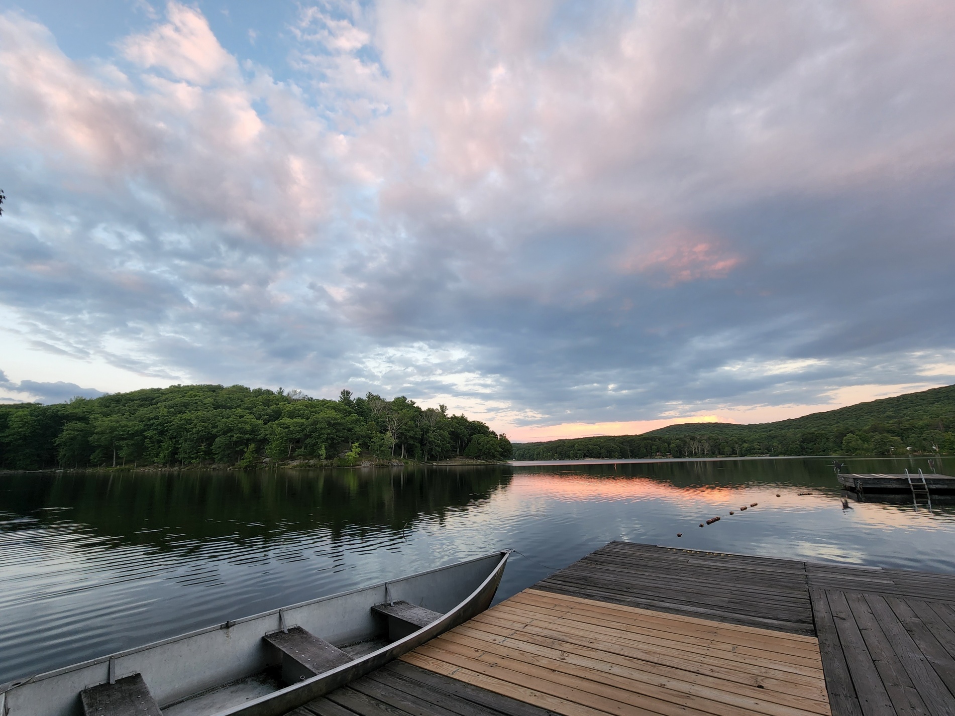
Camp numbers UT 7/8 are the first camps encountered as one approaches the area. We next made our way down to the very picturesque Upper Twin Lake. We were on the east side of the lake (where Camp Bluebird once existed).
It was a beautiful and sunny day. We took pictures to record the event, had lunch at some picnic tables, and then started our return by way of the Baileytown Road.
 Where the road meets again the Long Path and the start of the Menomine trail, we took a short side-trip on the Long Path to view ‘Hippo Rock’ (there was some debate as to whether it really looked like a Hippo). Then on back to the cars.

This is a fairly easy hike to a very pretty area of Harriman Park, one which holds special significance for our club.
The location and trails are found on the Trail Conference map #119 (Northern Trail Map).
–Ray Kozma